TWiki> MainPage Web>Education (2015-12-22, JakubKolecki)
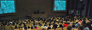 Undergraduate courses
We offer courses for undergraduate programs:
Undergraduate courses
We offer courses for undergraduate programs:- BSc in Geodesy and Cartography
- BSc in Environmental Egineering
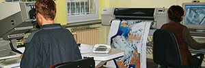
 MSc in Geodesy and Cartography
Specialisation: Geoinformation, Photogrammetry and Remote Sensing
MSc in Geodesy and Cartography
Specialisation: Geoinformation, Photogrammetry and Remote Sensing
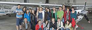
 Postgraduate Studies in Aerial and Terrestial Laser Scaning
 Master-level courses
We offer courses for programs:
Master-level courses
We offer courses for programs:- MSc in Geodesy and Cartography
- MSc in Environmental Egineering
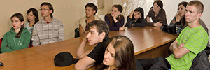
 PhD Studies
 Courses in English

| I | Attachment | History | Action | Size | Date | Who | Comment |
|---|---|---|---|---|---|---|---|
| |
specjalnosc.png | r2 r1 | manage | 26.8 K | 2015-12-11 - 21:11 | TomaszPirowski | |
| |
st_II_stopien.png | r2 r1 | manage | 26.9 K | 2015-12-11 - 21:11 | TomaszPirowski | |
| |
st_I_stopien.png | r2 r1 | manage | 27.7 K | 2015-12-11 - 21:11 | TomaszPirowski | |
| |
st_ang.png | r2 r1 | manage | 25.1 K | 2015-12-11 - 21:11 | TomaszPirowski | |
| |
st_dokt.png | r2 r1 | manage | 28.0 K | 2015-12-11 - 21:11 | TomaszPirowski | |
| |
st_skaning.png | r2 r1 | manage | 27.6 K | 2015-12-11 - 21:11 | TomaszPirowski |
Topic revision: r8 - 2015-12-22 - JakubKolecki

Ideas, requests, problems regarding TWiki? Send feedback