TWiki> MainPage Web>Research (2015-12-22, JakubKolecki)
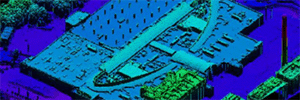 Photogrammetry
 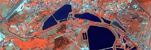 Remote sensing
 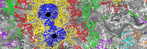 Application of GIS

| I | Attachment | History | Action | Size | Date | Who | Comment |
|---|---|---|---|---|---|---|---|
| |
gis.png | r1 | manage | 30.0 K | 2015-12-17 - 16:53 | TomaszPirowski | |
| |
remote_sensing.png | r1 | manage | 28.3 K | 2015-12-17 - 16:53 | TomaszPirowski | |
| |
skaning.png | r1 | manage | 26.5 K | 2015-12-17 - 16:53 | TomaszPirowski | |
| |
tabliczka_baner_300.png | r1 | manage | 51.0 K | 2015-11-12 - 05:42 | TWikiAdminUser |
Topic revision: r6 - 2015-12-22 - JakubKolecki

Ideas, requests, problems regarding TWiki? Send feedback