


NEWS
-
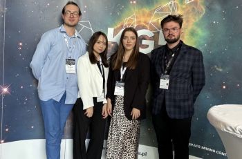
Remote Sensing & GIS Students at SPACE Conference 2025!
We are proud to announce that students from the Remote Sensing & GIS, actively participated in the prestigious SPACE Conference 2025 (May 21–23, 2025).
Read more ... -
07 Jun, 2023
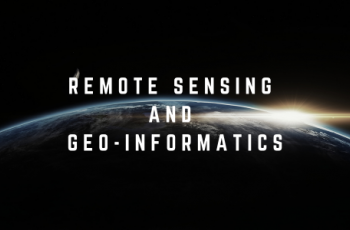
New Master's degree course: Remote Sensing and Geo-Informatics. We invite not only engineers!
Read more... -
07 Jun, 2023
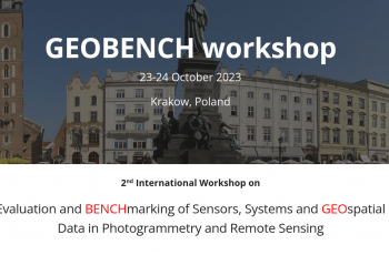
2nd GEOBENCH workshop
2nd workshop on benchmark data in photogrammetry and remote sensing will take place in Kraków 23rd and 24th of October, 2023. We invite you to register!
Read more... -
06 Jun, 2023
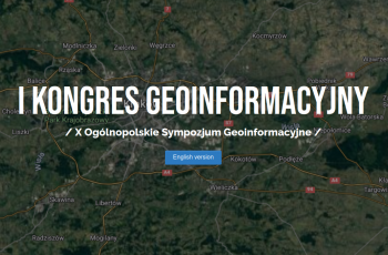
Applications for the 1st Geoinformation Congress are possible until June 15, 2023.
Read more...
10th National Geoinformation Symposium organized simultaneously as: 1st Geoinformation Congress "Modern geoinformation technologies in space modeling". October 25-27, 2023 Kraków
About Us
Team acitvities include geoinformation that integrates two related and overlapping domains: photogrammetry and remote sensing of the environment. In the area of geoinformation, we conduct research on the application of GIS geographic information systems tools in modeling objects and phenomena on the surface of the earth. Application of geoinformation technologies in environmental management and protection is a special area of our research. Our team is compsed of three research groups: photogrammetry and laser scanning, remote sensing and GIS and biotechnology.
![]()